RESEARCH PROJECT OVERVIEW
Emily Jones
Hello. Thank you so much for taking the time to visit my website. It goes into detail about every aspect of this research project, in which the affect of geomagnetic storms on the Global Positioning System is studied. I have spent numerous hours planing for, and conducting this project, so I am excited that you want to learn more about it. Keep reading for more information! Thanks!

INTRODUCTION
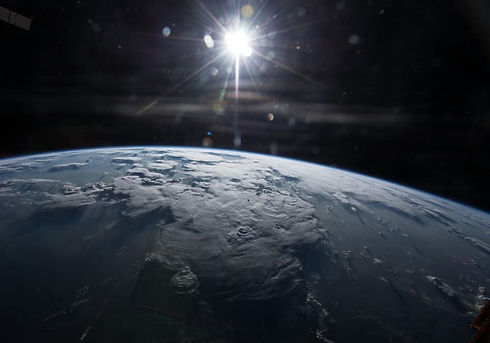
The objective of this research is to track and predict geomagnetic storms in the ionosphere utilizing a GPS receiver with WAAS capability. The Earth’s current position in the solar cycle will be taken into account when creating the model, as well as weather, seasons, and location. Although geomagnetic storms are not a well-known nor well studied topic, understanding them is crucial because they can become very harmful.
METHODOLOGY
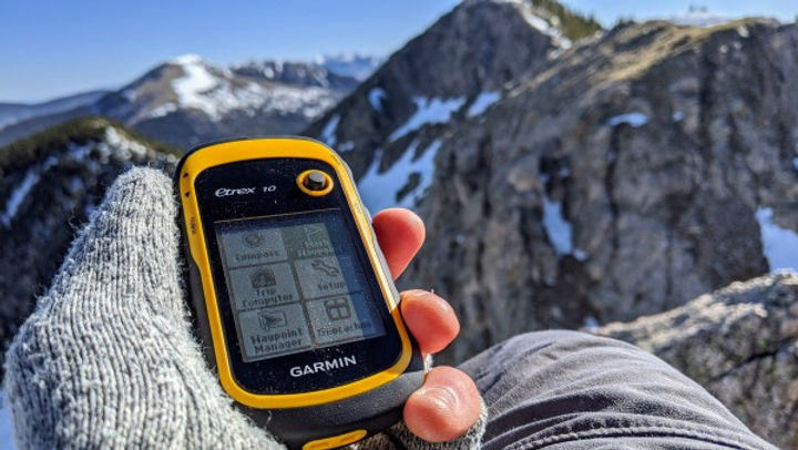
By utilizing a GARMIN eTrex 10, data for this research was collected on a daily basis for 90 days. This collection was done in three sets of 30-day sessions, where data was collected during the morning, afternoon, and night each day. During the times of sampling, the WAAS system would be turned on and off three times, and the longitude, latitude, and elevation values were recorded each time. Space data was also collected, including solar wind speed and temperature, GOES Proton Flux Values, GOES X-Ray Flux Values, and Planetary K-Index Values. A survey was also conducted to determine public opinion of geomagnetic storm research before and after they were educated on the topic.

RESULTS
Tackling this project required breaking it into several phases. First off, ANOVA tests were run to determine the relationship between various space weather data values. More specifically, I focused on how the values collected differed under the variable conditions. Another layer also included running Regression statistics to determine correlation between GPS errors and the space weather conditions.